
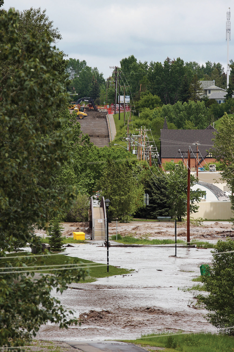
Okotoks was among southern Alberta’s hard-hit communities in 2013 flooding, this historical photo shows. Since 2020, Alberta has amped up its program of flood mapping so communities and all levels of government can plan, develop and build infrastructure with extreme water events in mind. Photo by iStock
Alberta’s flood mapping flow continues this year as the province builds a documentation inventory that helps protect communities from devastation by water — or a lack of it.
A raft of communities from the far northeast to the far northwest are currently at some stage of planning or execution in the multi-year mapping project.
It’s a process the Alberta government says has already resulted in about 1,900 kilometres of new or updated mapping since 2020. That’s more such mapping than happened in the previous 35 years, the province asserts.
Grant Hunter, Alberta’s minister of the environment and protected areas, said accurate flood mapping foundational information communities and the province need to protect Albertans from the effects of droughts and floods.
The maps guide municipal and community planning and inform all levels of government in infrastructure development, Hunter said.
Flood mapping “provides us with a really good, on-the-ground understanding about where we need to invest and where communities need to be concerned about potential flooding,” Hunter told The Macleod Gazette in a recent interview.
Public consultation remains open until July 8 on the mapping of 13 areas south from Garden River in the province’s northeast to Lacombe in central Alberta.
As well, the government announced last month that it’s launched studies for 10 more communities, which will add 260 kilometres of mapping to the nearly 600 kilometres further along in the process.
The newest studies cover communities that range from Sucker Creek and Driftpile in northern Alberta beside Lesser Slave Lake to Rosebud in the south, about 35 km southwest of Drumheller.
At yet another stage are seven communities from Chateh in the far northwest to Crowsnest Pass and Lethbridge in the south. Technical work for their maps is complete, and draft reports will be shared with local authorities for feedback this summer.
Finalization for that mid-process tranche of mapping is expected in the spring of 2027, after public consultation.
Mapping has helped inform $75 million in funding from the province since 2024 under the Drought and Flood Protection Program, Hunter said.
It’s resulted in “a lot of protection and hardening of assets in Alberta,” said Hunter, the member for Taber-Warner.
More than 80 per cent of the municipalities covered by provincial flood mapping reference them in their land use by-laws, the province says.
Hunter’s comments followed wet weather in Alberta that saw some areas deal with about 100 millimetres of rain over three days.
“That saturated the ground, and I think things could have been a lot worse without the mitigation efforts we’ve made to help protect what’s important to Albertans,” Hunter said.
In the 2026-’27 provincial budget, the government put $2.76 million towards flood mapping. Nearly $1.3 million more is earmarked for 2027-’28.
Said Hunter: “Someone might ask, why are you decreasing the amount? Well, we’ve been doing this for enough time now that where we’re actually starting to see less of a need (for mapping).”
The provincial money that goes into flood and drought mitigation is a largely untold story, he said.
“I’m amazed at how many people don’t know that we’re spending $25 million a year on flood and drought mitigation,” the minister said.
“I think a lot of people don’t recognize the efforts that have been made and the amount of money that we put into protecting these important assets for Albertans.”